Welcome to Downtown Hilo
Photo Courtesy of Don Mitchell
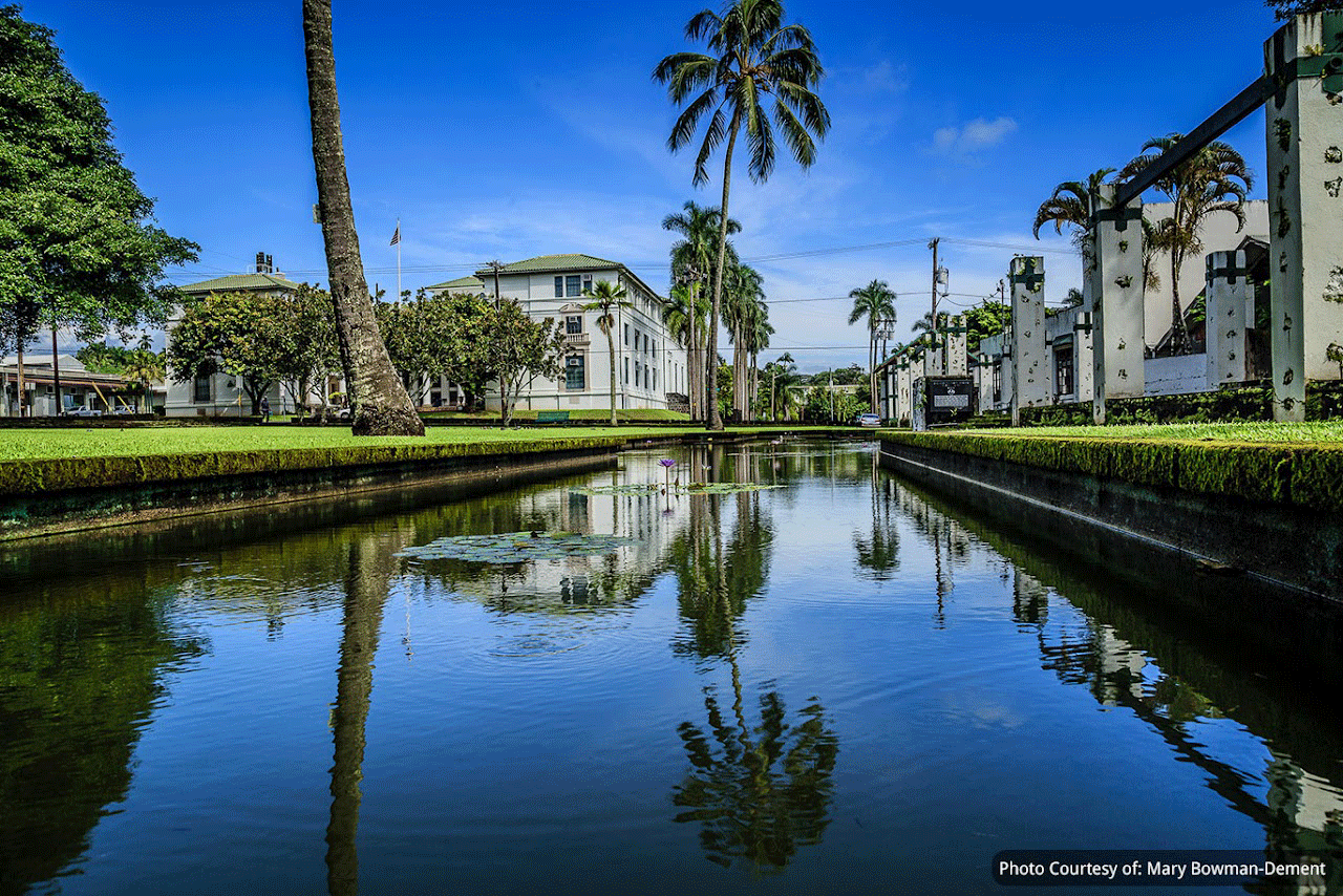
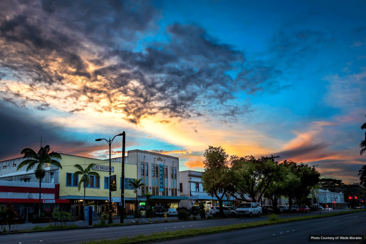
Downtown Hilo
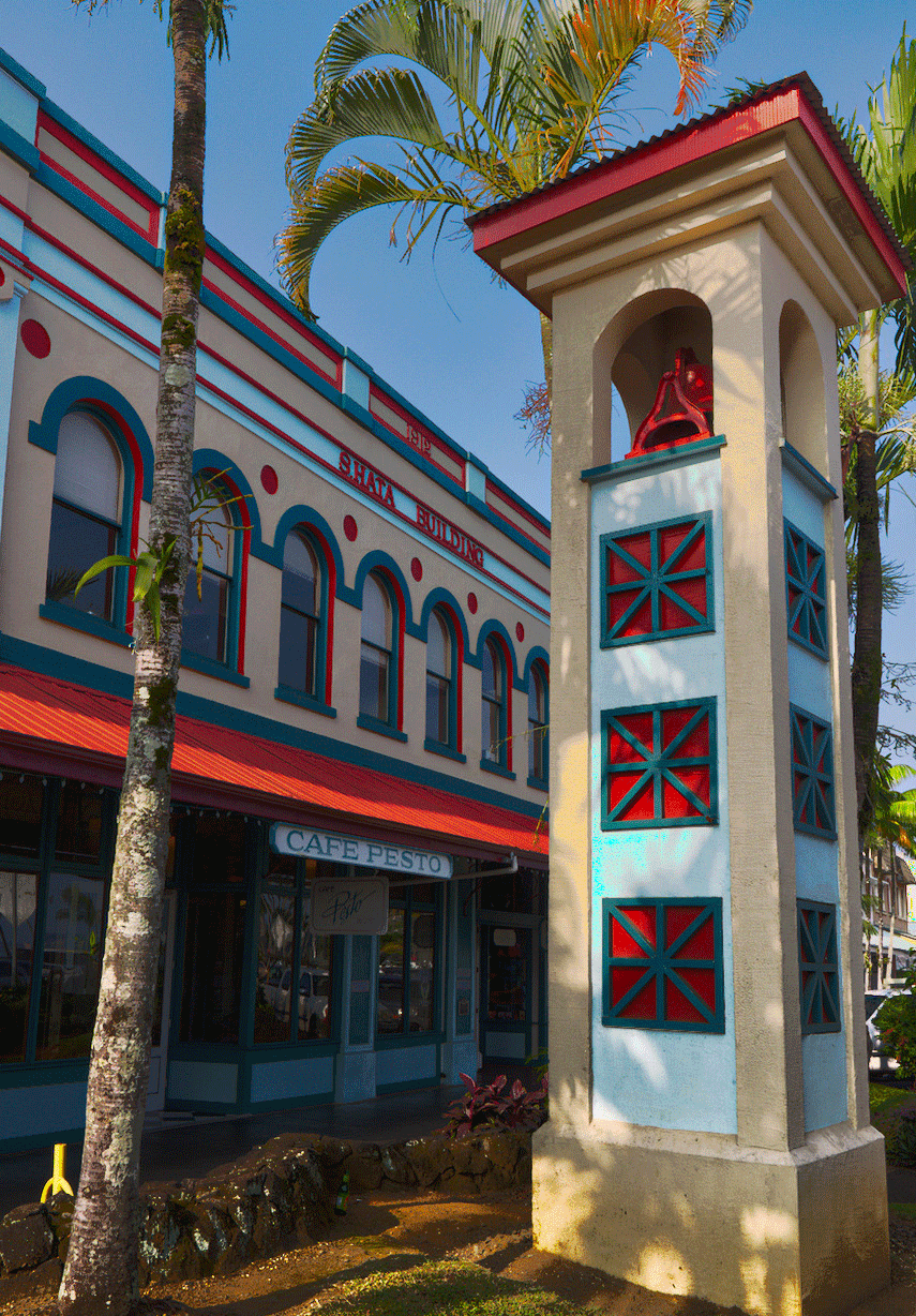
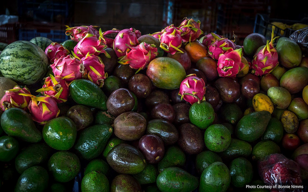
Downtown Hilo offers a unique, local shopping experience in a few easy-to-walk blocks. Discover gifts and souvenirs, galleries featuring Big Island artists, sports adventure stores, vintage Hawaiiana, and more as you stroll the streets.
EXPERIENCE
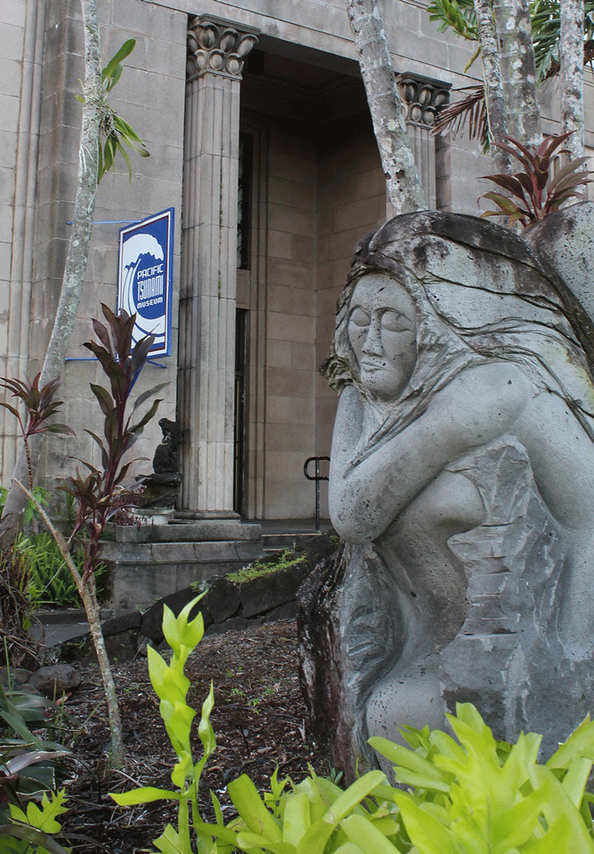
Spend the day touring the Tsunami Museum, wandering the Farmers Market and live music in the streets.
Explore Hilo'sOne HourSelf-GuidedWalking Tour
Board Business
Our Committees are the backbone to DIA's mission to protect, preserve, and create a vibrant downtown. Our Volunteers dedicate time, energy and aloha toward our beloved and historic Downtown Hilo.
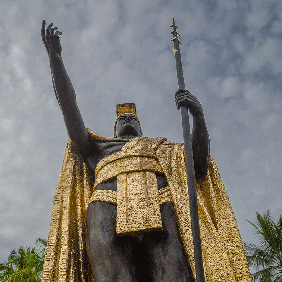
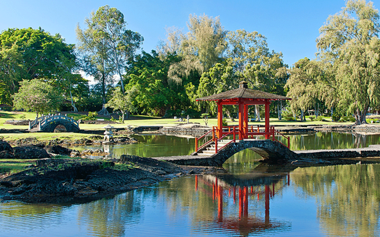
About Hilo
Hilo is the largest city, census-designated place (CDP), and settlement in Hawaii County, which encompasses the Island of Hawaiʻi. The population was 40,759 at the 2000 census. The population increased by 6.1% to 43,263 at the 2010 census and by 2.2% to 44,186 at the 2020 census.
Hilo is the county seat of the County of Hawaiʻi and is located in the District of South Hilo. The town overlooks Hilo Bay and is situated upon two shield volcanoes; Mauna Loa, an active volcano, and Mauna Kea, a dormant volcano and the site of some of the world’s most important ground-based astronomical observatories. The majority of human settlement in Hilo stretches from Hilo Bay to Waiākea-Uka, on the flanks of Mauna Loa.
Hilo is home to the University of Hawaiʻi at Hilo, ʻImiloa Astronomy Center of Hawaiʻi, as well as the Merrie Monarch Festival, a week-long celebration of ancient and modern hula which takes place annually after Easter. Hilo is also home to the Mauna Loa Macadamia Nut Corporation, one of the world’s leading producers of macadamia nuts. It is served by Hilo International Airport, located inside the CDP.
HISTORY OF HILO
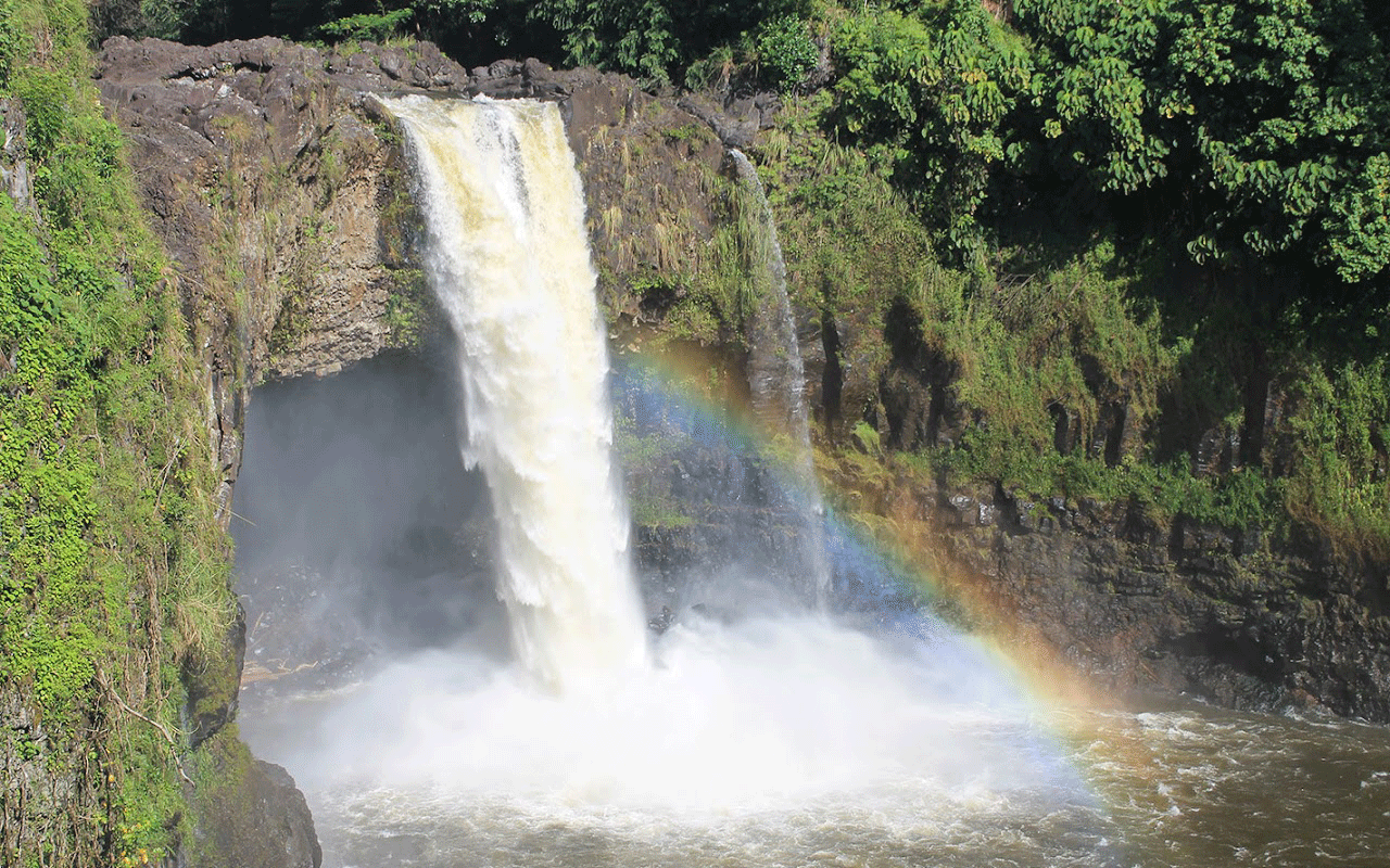
GEOGRAPHY & CLIMATE
Hilo is located on Hilo Bay on the eastern side of the island of Hawaii, 216 miles southeast of Honolulu (on the island of Oahu). The area's topography is mostly sloping, from the tops of the scenic Mauna Kea and Mauna Loa mountains to the sea.
Hilo is located less than 30 miles from Kilauea, one of the most active volcanoes on earth, which has been emitting lava since 1983. Much of the lava has reached the ocean, enlarging the island of Hawaii by about 500 acres.
Hilo is classified by the United States Census Bureau as a census-designated place (CDP), and has a total area of 58.4 square miles (151.3 km2), 54.3 square miles (140.6 km2) of which is land and 4.1 square miles (10.6 km2) of which (7.10%) is water.
Hilo features a tropical rainforest climate, with substantial rainfall throughout the course of the year. Hilo’s location on the eastern side of the island of Hawaiʻi, (windward relative to the trade winds), makes it the third wettest designated city in the United States behind the southeast Alaskan cities of Ketchikan and Yakutat and one of the wettest in the world.
An average of around 126.72 inches (3,220 mm) of rain fell at Hilo International Airport annually between 1981 and 2010, with 275 days of the year receiving some rain, which is the most rainy days for any place in the Northern Hemisphere and exceeded only in parts of Aisén and Magallanes in Chile. Rainfall in Hilo varies with altitude, with more rain at higher elevation. At some other weather stations in upper Hilo the annual rainfall is above 200 inches (5,100 mm).
Monthly mean temperatures range from 71.4 °F (21.9 °C) in January to 76.4 °F (24.7 °C) in August. The highest recorded temperature was 94 °F (34 °C) on May 20, 1996, and the lowest 53 °F (12 °C) on February 21, 1962. The wettest year was 1994 with 182.81 inches (4,643.4 mm) and the driest year was 1983 with 68.09 inches (1,729.5 mm). The most rainfall in one month was 50.82 inches (1,290.8 mm) in December 1954. The most rainfall in 24 hours was 27.24 inches (691.9 mm) on November 2, 2000./p>
Hilo’s location on the shore of the funnel-shaped Hilo Bay also makes it vulnerable to tsunamis.